Berrien County Trails Master Plan
The future of active recreation and transportation for Berrien County, Michigan is presented in this visual document that plans for 38 municipalities to create a comprehensive and connected network.
Connectivity for all.
Over 372 new miles of dedicated pedestrian and cyclist infrastructure is proposed in 118 unique segments. These segments crossed many jurisdictional boundaries and required coordination and buy-in to make this plan successful. The plan includes a dedicated map for each jurisdiction and and implementation toolbox section to help all 39 of the jurisdictions in the County implement their segments.
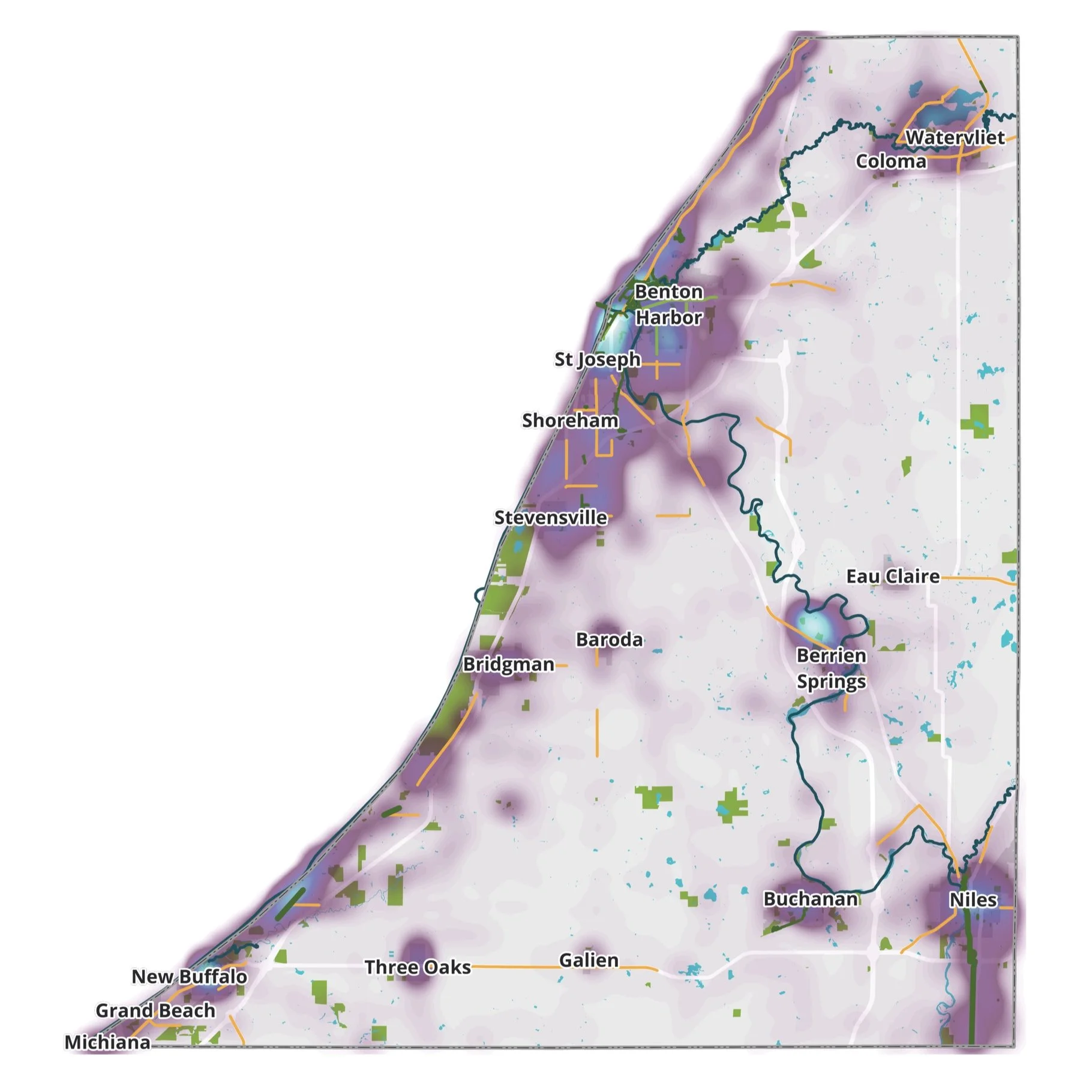
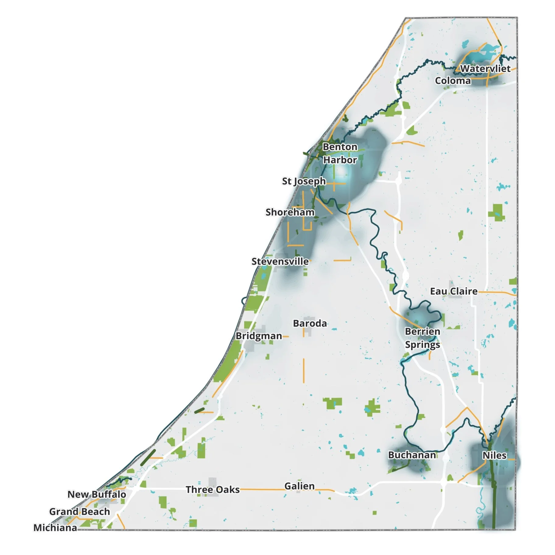
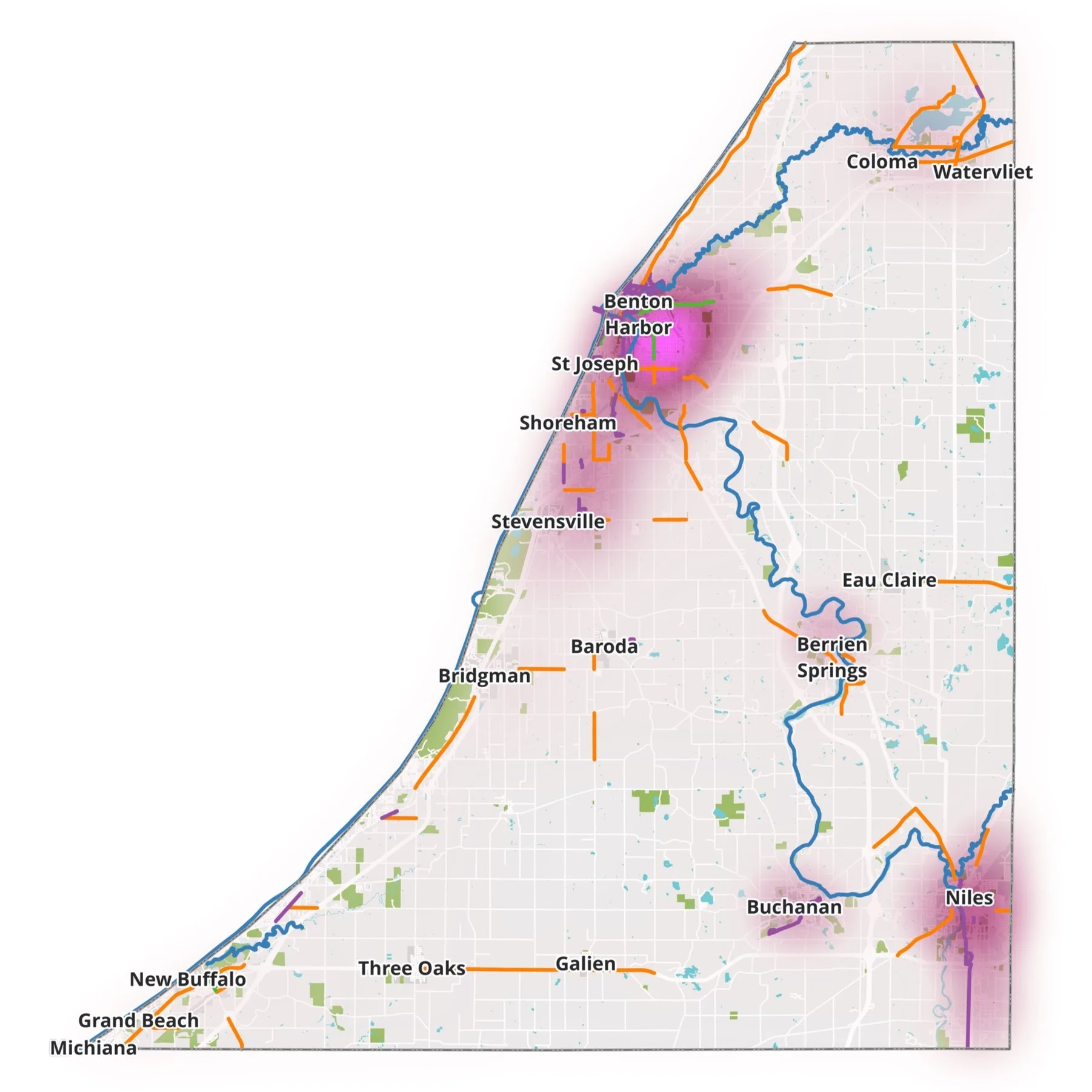
The scale of the plan required unique spatial analysis.
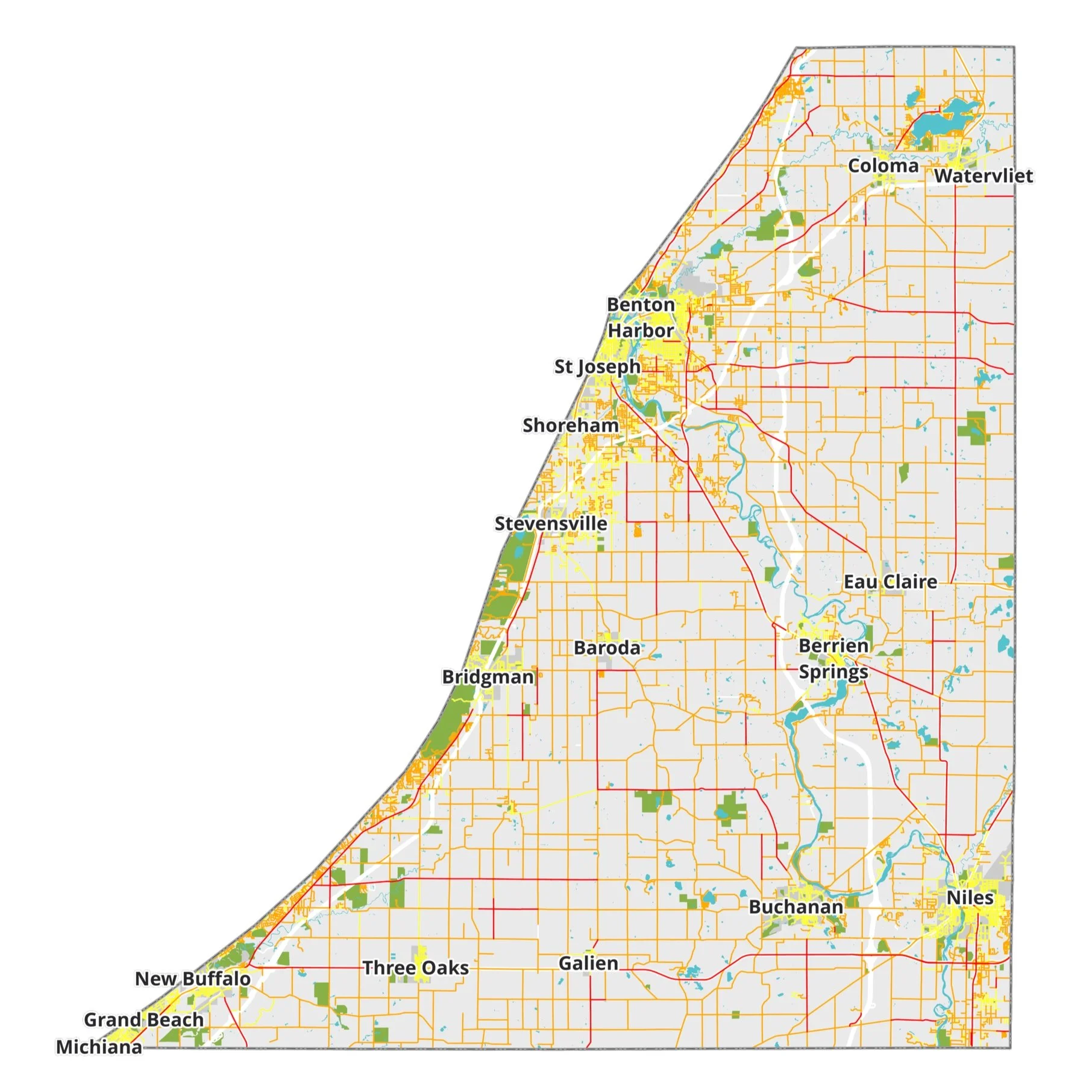
Berrien County is a large county at 568 square miles and includes 39 municipalities, all of which were involved in the planning process. To ensure equity and that all critical areas are served by the proposed network, unique spatial analysis methods were used to help visualize certain characteristics important for route planning.


